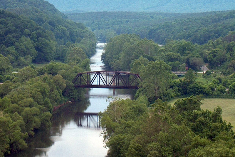
Photo credit: Wyatt Greene
Tye River

The Details
With headwaters beginning high in the Blue Ridge Mountains and the George Washington National Forest, the Tye River is one of the most beautiful whitewater streams in Virginia. The river begins at the end of two mountain passes, the North Fork and South Fork, at the foot of a mountain. It travels for about 34 miles through Nelson County, through beautiful scenery, with mountain, valley and pastoral views. The upper section can have strong whitewater for advanced paddlers, and the middle and lower sections, moderate whitewater on a seasonal basis. The rapids are rated Class I to Class II+. Depending upon water conditions, some rapids on the Tye River can approach Class III to IV.
Sections
Section 1: Nash (Route 56 & Rt. 687) to Massies Mill (Route 56)
8.5 mile distance, normally canoeable in the winter, for an average of 15-18 days/yr.
Difficulty 2-4. Excellent scenery. Hazards include a low-water bridge, and several Class 4 rapids on right turns.
Section 2: Massies Mill (Route 56) to Tye River P.O. (Route 29 & Rt. 739)
13.5 mile distance, normally canoeable in the winter and early spring, for an average of 55-60 days/yr.
Difficulty 1-2. Very good scenery. Hazards include barbed wire fences across the stream, and a seven-foot dam just below takeout. Takeout on the right bank, downstream of Rt. 29 and ABOVE the seven-foot dam about 200 yards below the bridge. (long uphill carry)
Section 3: Tye River P.O. (Route 29) to James River (Route 626)
11.5 mile distance, normally canoeable in winter, spring and early summer, for an average of 100-115 days/yr.
Difficulty 1,2,3. Very good scenery. Put-in, at Rt. 29, below the seven-foot dam. Alternatively, get permission to cross private property at Rt.739 bridge crossing for a shorter carry.
Section 4: Headwaters – North Fork Tye River above Nash
1.5 mile distance, normally canoeable only in winter, following a prolonged wet period, for an average of 5-6 days/yr.
Difficulty 3-4. Very good scenery. Hazards: continuous, strong rapids, with an impassable rapid upstream from the bridge put-in. Rocks and boulders abound, seek full information on this section before attempting.
Information above excerpted from: Virginia Whitewater – A Paddler’s Guide to the Rivers of Virginia by H. Roger Corbett.


